Precision Agriculture
POWERED BY DATA
We combine satellite imagery, IoT data, and AI to optimize crop management, increase yields, and reduce environmental impact.

Key Solutions
Dynamic fertilization models
Optimisation of fertilizer doses and application times, increasing the efficiency of agricultural production and minimising the impact on the environment
Detection of pathogens in industrial crops
Early warning of threats to crops, based on the analysis of satellite data, spectral data and IoT
CO₂ sequestration balance models
Tools supporting the monitoring and reduction of emissions in the agricultural sector
Key Solutions
Dynamic fertilization models
Optimisation of fertilizer doses and application times, increasing efficiency and minimising environmental impact
Detection of pathogens in industrial crops
Early warning of threats to crops, based on satellite data, spectral data and IoT
CO₂ sequestration balance models
Tools supporting the monitoring and reduction of emissions in the agricultural sector
How It Works
A simple three-step process from data collection to actionable insights
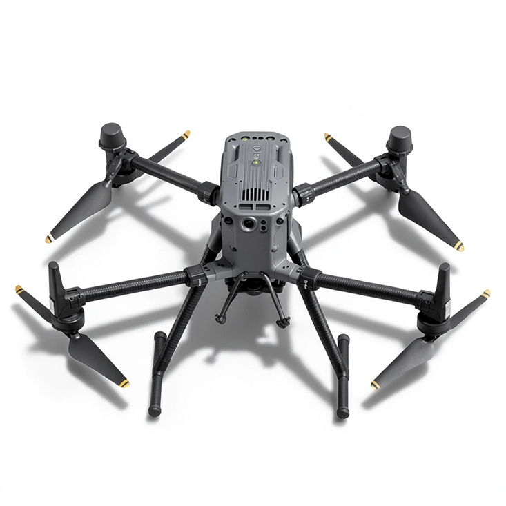
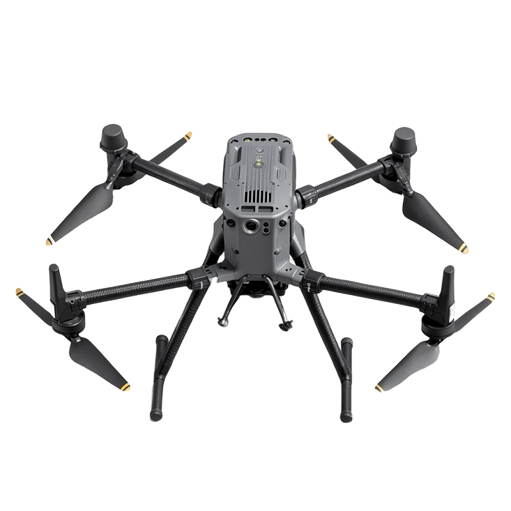
Step 1
Collect
We deploy drones with spectroradiometric sensors over your fields
Step 2
Analyze
We process spectral data into actionable crop health insights
Step 3
Optimize
Receive detailed reports with prescriptive recommendations
Technologies
We develop cutting-edge
solutions that push the boundaries
of precision agriculture
Superresolution Reconstruction of Satellite Imagery
Improving the spatial resolution of data and increasing its usefulness in environmental analyses
Forecasting Areas at Risk of Waterlogging
Identifying areas at risk of excessive moisture, supporting better crop management
ML-Based Sensor Calibration
Sensor calibration based on machine learning models and in situ data — ensuring the highest quality data for precise analyses and models